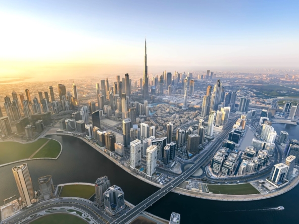
Dubai’s Roads and Transport Authority (RTA) has officially launched the Metro Blue Line project—a transformative 30-kilometre mass transit corridor designed to boost east-west connectivity and support the emirate’s growing urban footprint. Scheduled to be completed and operational by 2029, the project reaffirms Dubai’s long-term vision for sustainable mobility and transit-oriented urban development.
Revolutionizing Urban Mobility
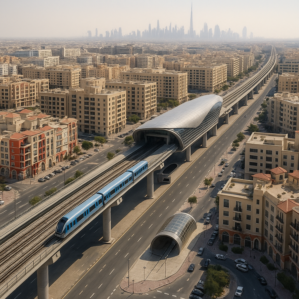
The Metro Blue Line will comprise 14 stations—seven elevated, five underground, and two key interchange stations connecting with the existing Red and Green Lines. Starting at International City 1 and ending at Al Jaddaf, the route will serve vital residential, commercial, and industrial zones across both old and new Dubai. Seamless transfers will be possible via interchanges at Centrepoint (Red Line) and Creek Station (Green Line).
Of the total route, approximately 15.5 kilometres will run underground through twin tunnels—some reaching depths of up to 70 metres, making them among the deepest in the Dubai Metro network—while 14.5 kilometres will be elevated.
The RTA expects the Blue Line to handle around 200,000 daily passengers upon launch, with this number projected to rise to 320,000 by 2040 as surrounding areas develop further.
Boosting Urban Development and Real Estate Value
Strategically aligned to intersect key urban growth areas—such as Dubai Silicon Oasis, Academic City, and Ras Al Khor Industrial Area—the Blue Line is set to drive urban renewal, mixed-use developments, and increased investment in the eastern districts of Dubai.
Proximity to metro stations in Dubai has historically delivered significant value, with rental premiums ranging from 10–20% and sales price increases of up to 30%, according to CBRE and Knight Frank. By connecting affordable hubs like International City and Silicon Oasis, the Blue Line is expected to accelerate gentrification and reposition these areas within Dubai’s real estate landscape.
Developers are already securing plots and planning projects around the upcoming stations. Emerging developments like the Urban Tech District in Dubai Creek and logistics hubs in Ras Al Khor are also poised to benefit from enhanced connectivity.
Economic, Environmental, and Infrastructure Synergies
The Blue Line aligns with Dubai Urban Plan 2040, which emphasizes compact city growth, expanded public transport use, and a target of 55% public transport share by 2040. The new metro line is projected to reduce annual carbon emissions by over 240,000 tonnes, directly supporting the UAE’s Net Zero 2050 objectives.
Integration with last-mile transit options—such as autonomous shuttles, pedestrian zones, and e-scooter networks—will help reduce car dependency. The line is also expected to ease traffic on major corridors like Sheikh Mohammed bin Zayed Road and Al Khail Road.
Funding will come from a combination of public investment and private sector partnerships, with engineering, procurement, and construction (EPC) contracts to be awarded by Q4 2025.
Timeline and Risk Considerations
Despite a planned 2029 completion, challenges may arise due to utility relocations, complex tunneling in industrial zones, and inflation-driven cost pressures. However, the RTA is mitigating these risks through phased implementation, with early groundwork already underway as of 2024.
The design phase concluded in early 2024, and detailed engineering is currently in progress. Major tunneling operations are expected to begin by mid-2026. The estimated cost per kilometre is AED 700–800 million, consistent with international benchmarks for metro projects in densely built urban environments.